LAKES BASIN CONNECTOR TRAILS
ABOUT THE PROJECT
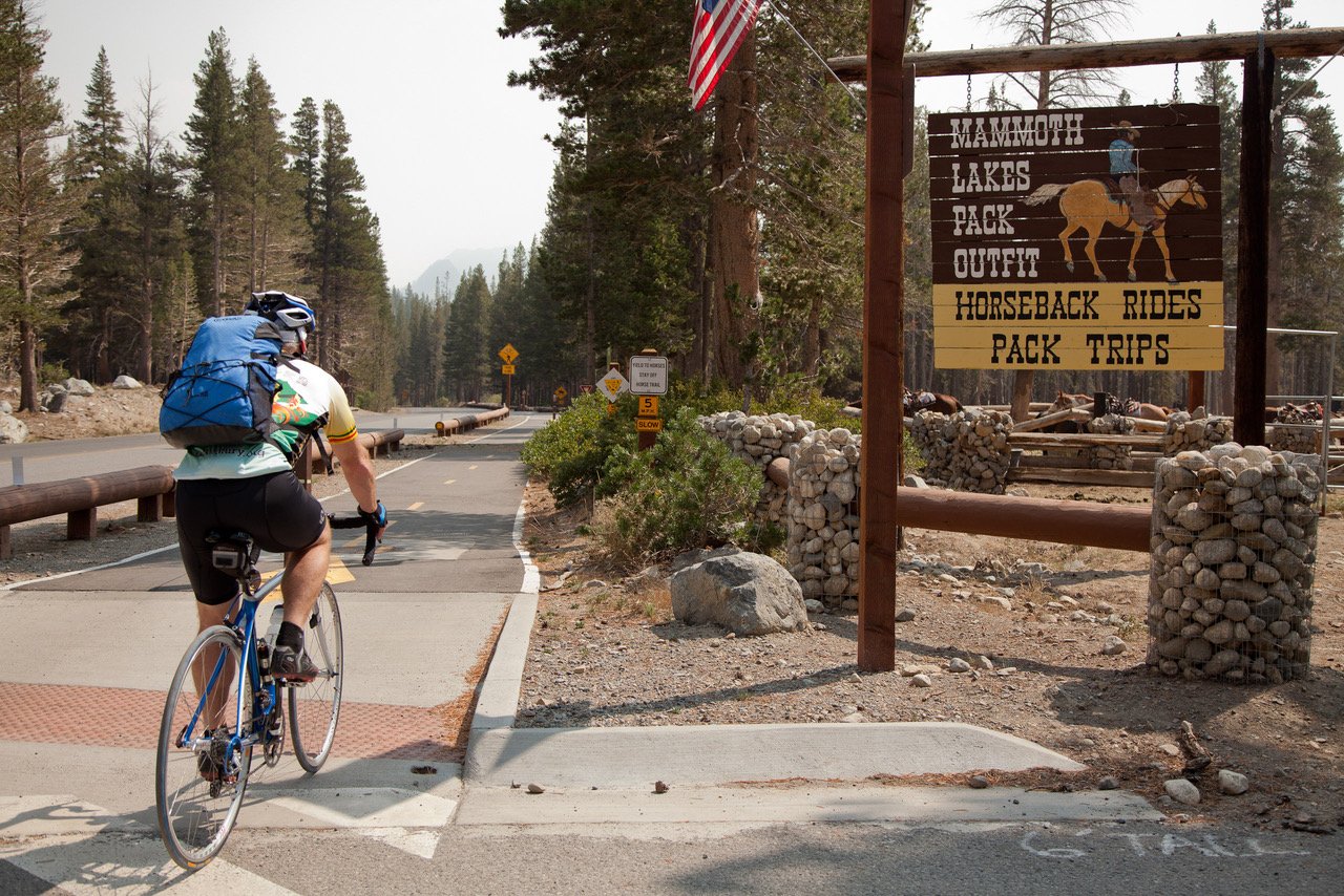
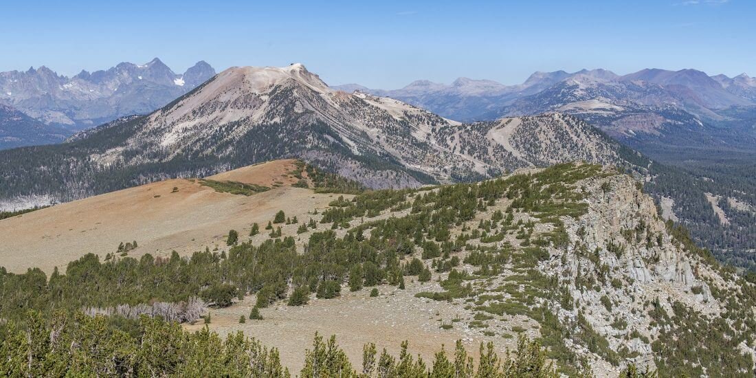
The Town of Mammoth Lakes receives an estimated 2.8 million visitors annually, with high and concentrated use occurring in the Mammoth Lakes Basin. A “Destination Recreation Area” (Inyo National Forest Land Management Plan; 2019), these areas are characterized by “high levels of recreation, supported by more facilities, amenities, and services than other areas and a variety of activities available.” Due to increased visitation, limited parking, and persistent resource damage caused by user-created trails, the Town of Mammoth Lakes is building approximately 2.5 miles of multi-use, non-motorized U.S. Forest Service system trail(s) to provide additional recreation opportunities and connect trail users to popular destination features and facilities in the Lakes Basin cirque.
Trails are being constructed to U.S. Forest Service specifications and will replace user-created trails with sustainably designed trail alignments. There are several user-created trails in the vicinity and the desired outcome is to consolidate trail use to the system trails. The trail that connects Twin Lakes with the Lakes Basin Bike Path at Twin Falls Overlook and Picnic Area will be new construction replacing a user-created trail along the waterfall that has exhibited substantial erosion and ongoing impacts to natural resources. Decommissioning and restoration of user-created trails, along with the installation of wayfinding, regulatory, and trail etiquette signage are all part of this project.
DOCUMENT LIBRARY
-
-
In 2011, the Sherwins Area Recreation Plan (SHARP), complete with programatic CEQA analysis, was adopted by the Town of Mammoth Lakes as part of the “Trail System Master Plan”. The first SHARP trail was completed in 2013 and the NEPA and CEQA analysis necessary to responsibly build an additional 20+ SHARP trails began, leading to the construction of two additional trails in 2017.
-
The Lakes Basin Special Study, (LABSS), kicked off in the summer of 2010 with a variety of community-based outreach events, workshops, and field trips to complete planning in the much-loved and heavily visited Mammoth Lakes Basin. Funded by a grant from the Sierra Nevada Conservancy (SNC), the recreation and mobility information collected may be used by the Inyo NF to help draft a Lakes Basin Management Plan.
-
The Final Trail System Master Plan and Programmatic Environmental Impact Report were recommended for adoption by the Planning Commission on September 28, 2011, and adopted by the Town Council on October 11, 2011. This Trail System Master Plan updated the Town’s 1991 Trails Plan and is the result of the Concept and Master Planning (CAMP) process. The adopted final draft of the TSMP includes input from close to a thousand public comments from more than 60 individual respondents to drafts of the final plan.
-
The Town contracted with Alta Planning + Design to develop a Multi-Modal Bicycle, Pedestrian, Transit and Parking Action Plan to accelerate the Town’s action plan for bicycle, pedestrian, transit, and parking alternatives within the community. This Action Plan included a recommended implementation strategy including priority projects, “quick victory” early implementation projects, cost estimates and funding mechanisms.
OUTREACH
FREQUENTLY ASKED QUESTIONS
-
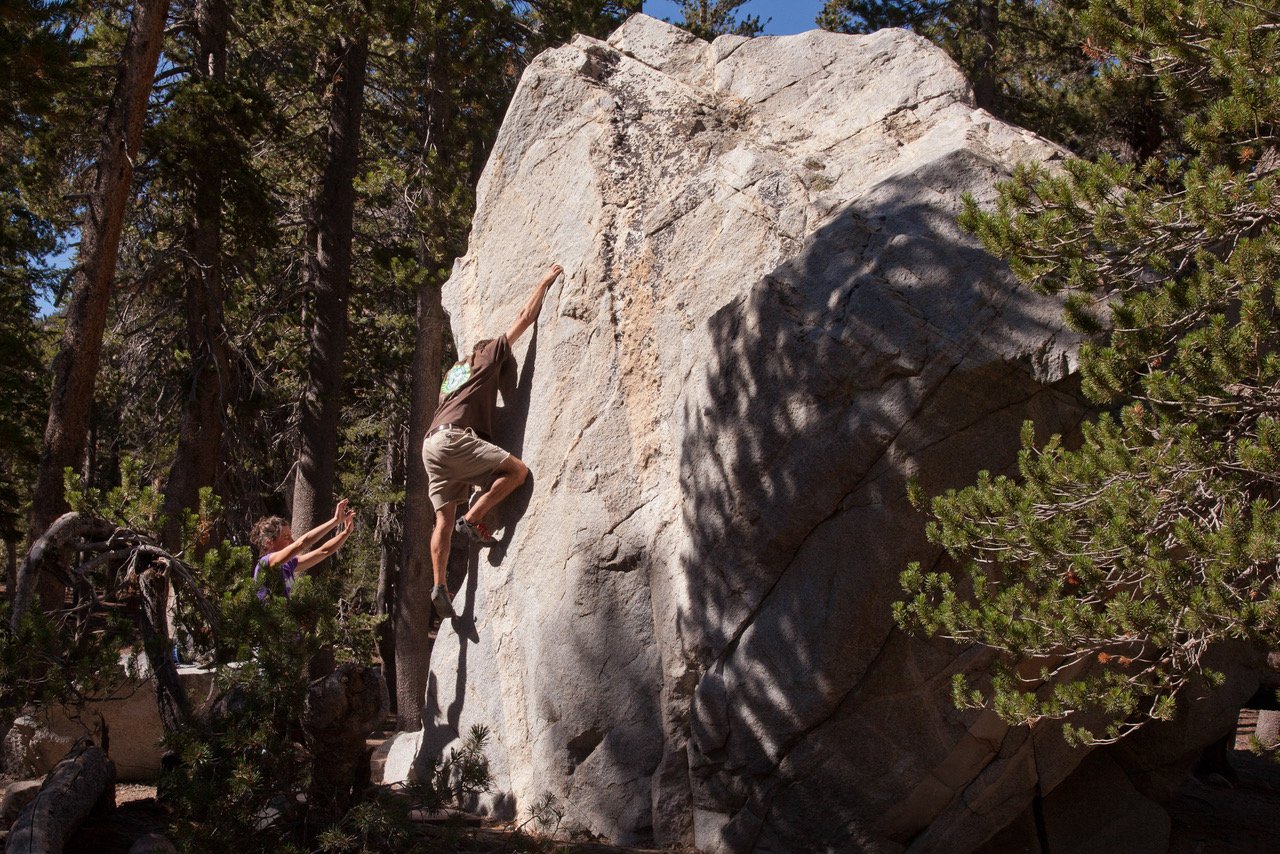
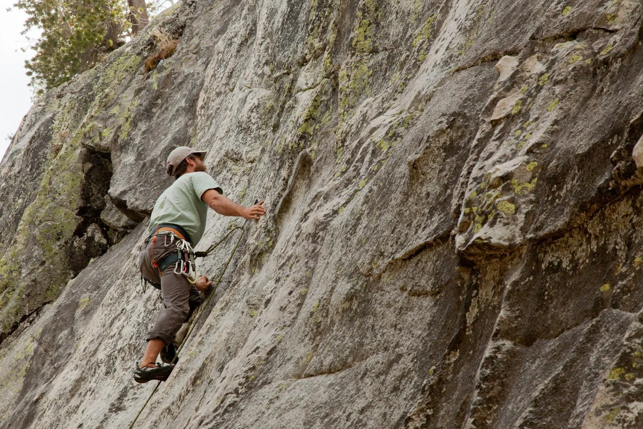
Public access and sustainable recreation reside at the core of MLR’s mission to “enhance recreation, arts, culture, and mobility in the Eastern Sierra” and to connect the region’s three million visitors with their natural and cultural heritage. While visitation continues to increase and federal appropriated funding declines, “Promot[ing] effective communication with gateway communities to help foster partnerships […] that contributes to funding, implementation of projects, and long-term maintenance of facilities” (Inyo National Forest Land Management Plan) has become increasingly important.
This project builds upon twelve years of planning and public outreach to leverage local resources and partnerships for the completion these non-motorized, multi-use trails that will connect to existing infrastructure, public transportation systems, scenic features and overlooks in the Lakes Basin Special Study Area (LABSS). This planning effort was accepted by Town Council, along with the adoption of the Town of Mammoth Lakes Trail System Master Plan (2011), and further informed by the Town of Mammoth Lakes’s Walk Bike Ride Action Plan (2017) to promote “bicycle, pedestrian, transit, and parking alternatives within the community”. This project is intended to sustainably manage, complement, and maintain existing uses by providing new and sustainable infrastructure for the enjoyment of locals and visitors to the Mammoth Lakes region. -
This project includes trails that are classified as multi-use, non-motorized natural surface trails. The trails will be designed and constructed to accommodate hikers, runners, mountain bikers, and equestrians. They will include the same trail user groups as other existing system trails like the Mammoth Rock Trail.
-
The National Environmental Policy Act (NEPA) process begins when a federal agency develops a proposal to take a major federal action. The environmental review under NEPA can involve three different levels of analysis:
Categorical Exclusion determination (CATEX)
Environmental Assessment/Finding of No Significant Impact (EA/FONSI)
Environmental Impact Statement (EIS)
A federal action may be “categorically excluded” from a detailed environmental analysis if the federal action does not, “individually or cumulatively have a significant effect on the human environment”. CATEX are not exemptions or waivers of NEPA review; they are simply one type of NEPA review. To establish a categorical exclusion, agencies determine whether a proposed activity is one that, on the basis of past experience, normally does not require further environmental review. Once established, categorical exclusions provide an efficient tool to complete the NEPA environmental review process for proposals that normally do not require more resource intensive EA or EIS. The use of categorical exclusions can reduce paperwork and delay, so that EA’s or EIS’s can be targeted toward proposed actions that truly have the potential to cause significant environmental effects. A federal agency can determine that a CATEX does not apply to a proposed action. The federal agency may then prepare an EA. The EA determines whether or not a federal action has the potential to cause significant environmental impacts. Federal agencies prepare an EIS if a proposed major federal action is determined to significantly affect the quality of the human environment.
-
The average cost for construction of natural surface trails is $5 per foot. The cost of construction is estimated at $80,000. The Mammoth Lakes Trail System (MLTS) is primarily funded through the Measure R Special Tax. The MLTS program budget includes capital funding for this project and others like it.
Measure R or “Mammoth Lakes Recreation, Trails and Parks Investment Initiative” was approved by voters in 2008. The Ordinance imposed a Transactions and Use Tax in the amount of one-half percent for the purpose of funding Recreation, Trails and Parks.