SHADY REST + INYO CRATERS
ABOUT THE PROJECT
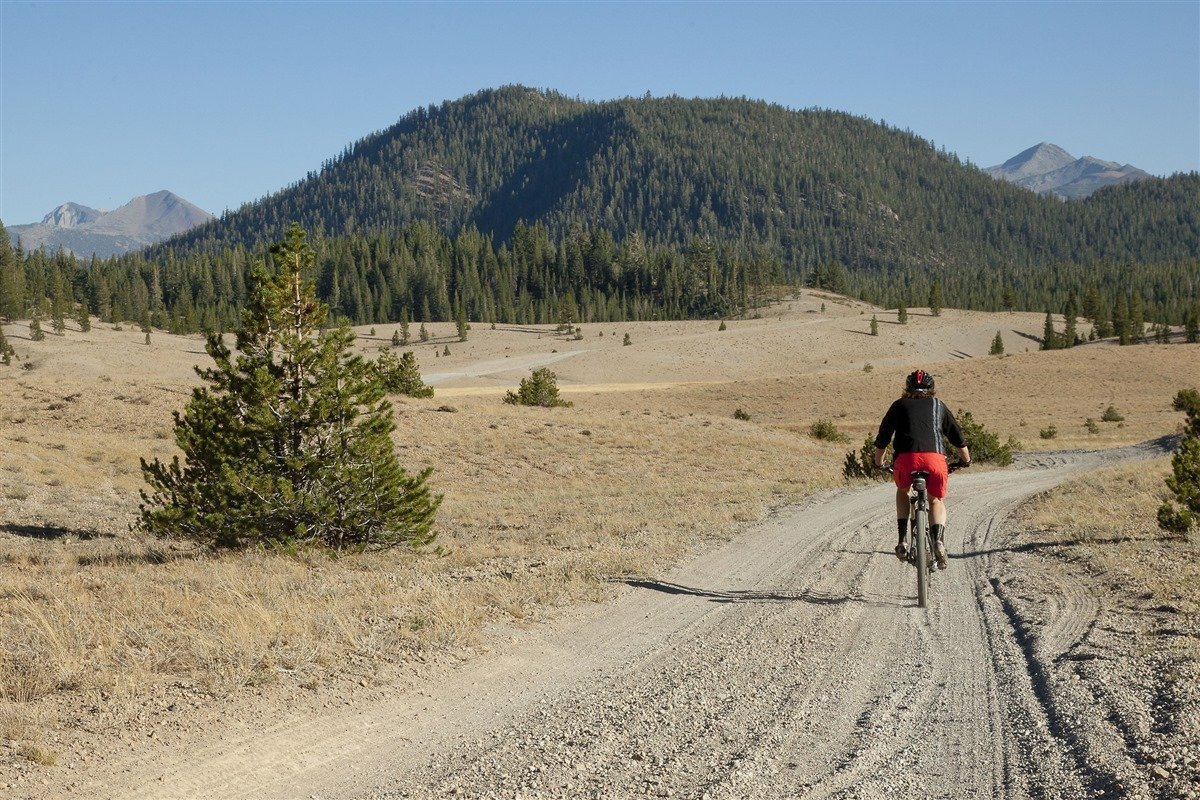
The unique landscape to the north of the Town of Mammoth Lakes (TOML), managed almost entirely by the Inyo National Forest, from Highway 203 and the Shady Rest Campgrounds to the north end of the Inyo Craters, comprises vast stands of old-growth Jeffrey Pine, numerous volcanic and geological features, expansive views stretching from the Glass Mountains to the Headwaters of the Wild and Scenic Owens River (source of 60% of Los Angeles’ drinking water), and 100’s of miles of U.S. Forest Service roads built for by-gone resource extraction, mining and timber operations. It is home to coyotes, foxes, mule deer, mountain lions and black bears and is a popular destination for dispersed camping, motorized recreation, e-biking, mountain biking, hiking, cross-country and backcountry-skiing and snowmobiling.
This unique landscape, combined with its proximity to the municipal interface, requires deliberate recreational use management, including sustainable trail and infrastructure design, to protect and preserve – for generations to come – not just the quality of the recreational experiences, but also the landscape and ecosystems these experiences depend on. We have an amazing opportunity to work together to plan a well-designed and managed trail system that makes sense for trail users while improving the existing condition of the environment.
In an effort to engage with OHV users and opportunities in the Shady Rest Inyo Craters sub-region, TOML applied for and was awarded a three-year planning grant from the California State Parks Off-Highway Motor Vehicle Division Grant Program in 2020. The TOML, in partnership with Inyo National Forest – Mammoth Ranger District and Mono County, is using the California OHV planning grant funds for on-the-ground planning and environmental review (NEPA/CEQA) in order to optimize existing OHV trail facilities that serve a wide spectrum of user groups and to consider enhanced opportunities for trails and sustainable recreation in the Shady Rest Inyo Craters sub-region.
Proliferation of user-created trails, lack of clear wayfinding information, and other public feedback indicate the area will benefit from systematic improvements. By enhancing the existing OHV trail network and devising new OHV trail facilities, this effort aims to mitigate resource concerns while providing a more enjoyable and safer experience for OHV users including motorcycles, quads, e-bikes, side-by-sides and 4X4s. This effort may also provide better access for camping, fishing, hiking, trail running, horseback riding, climbing, and biking.
This project was removed from Inyo National Forest Program of Work in WINTER 2021 and has been suspended.
DOCUMENT LIBRARY
OUTREACH
-
02/10/22 - Mammoth Trails Community Meeting
11/18/21 - Mammoth Trails Community Meeting
06/17/21 - Mammoth Trails Community Meeting
03/25/21 - Mammoth Trails Community Meeting
01/21/21 - Mammoth Trails Community Meeting
10/15/20 - Mammoth Trails Committee
08/13/20 - Mammoth Trails Committee
06/11/20 - Mammoth Trails Committee
-
-
FREQUENTLY ASKED QUESTIONS
-
Spring 2021
Community Meeting 3/25: Introduce project, solicit public participation and feedback
Identify existing condition of trails infrastructure
Consider ways to improve the trail system
Solicit feedback from trail enthusiasts (Survey)Summer 2021
Community Meeting 6/17: Public workshop in Shady Rest Park to refine concepts
Corridor design and analysis (Volunteers Needed)
Fall 2021
Share 2021 season of work
Preparation of proposed action for recommendations for maintenance, staging areas, route identification, new trail connections, stewardship, and on-going partnershipsWinter 2021
Removed from Inyo National Forest Program of Work.
Project suspended.
-
Yes
-
This project includes trails that are classified as multi-use, motorized natural surface trails. The trails will be designed and constructed to accommodate hikers, bikers, runners, OHV’s, OSV’s, nordic and backcountry skiers, and equestrians.
-
Yes. The trails being designed with this planning grant will be open to all uses and users.
-
Once a project proposal is submitted, the U.S. Forest Service will determine the appropriate environmental analysis.
-
An inventory of disturbed areas and identified segments of roads will be included for recommended restoration projects. A team of resource specialists will be providing direction and recommendations.
-
During this planning process, all reasonable concepts are being considered. The grant allows for planning for motorized trail facilities. A portion of this project is paid for from local resources and allows for non-motorized trail facility planning. We strongly encourage feedback and participation for trail system improvements, expansion and stewardship.
-
There is never a guarantee for maintenance of any trail system. Strong agency partnerships are key to successful management. Continued support from the public, local and State representatives help to sustain facilities over time. Together, community members, land managers and local government agencies will create a Trails Plan with a vision to enhance sustainable recreation opportunities on public lands and contribute to shared stewardship and on-going maintenance of facilities.
-
Yes, we need to hear from you! Local knowledge and thoughtful feedback will ensure the highest quality outcome. We want to engage community members in the planning process to understand where and how community members use local trails and where they would like to have improved access to surrounding public lands.
-
Implement a rolling contour trail design standard
Identify and avoid all sensitive resource areas
Create trail connections between existing system facilities


